Market Overview 2022-2027:
The latest research study “Airborne LiDAR Market: Global Industry Trends, Share, Size, Growth, Opportunity and Forecast 2022-2027” by IMARC Group, finds that the global airborne LiDAR market reached a value of US$ 612.5 Million in 2021. Looking forward, IMARC Group expects the market to reach a value of US$ 1,412.32 Million by 2027, exhibiting a CAGR of 14.30% during 2022-2027.
Industry Definition and Application:
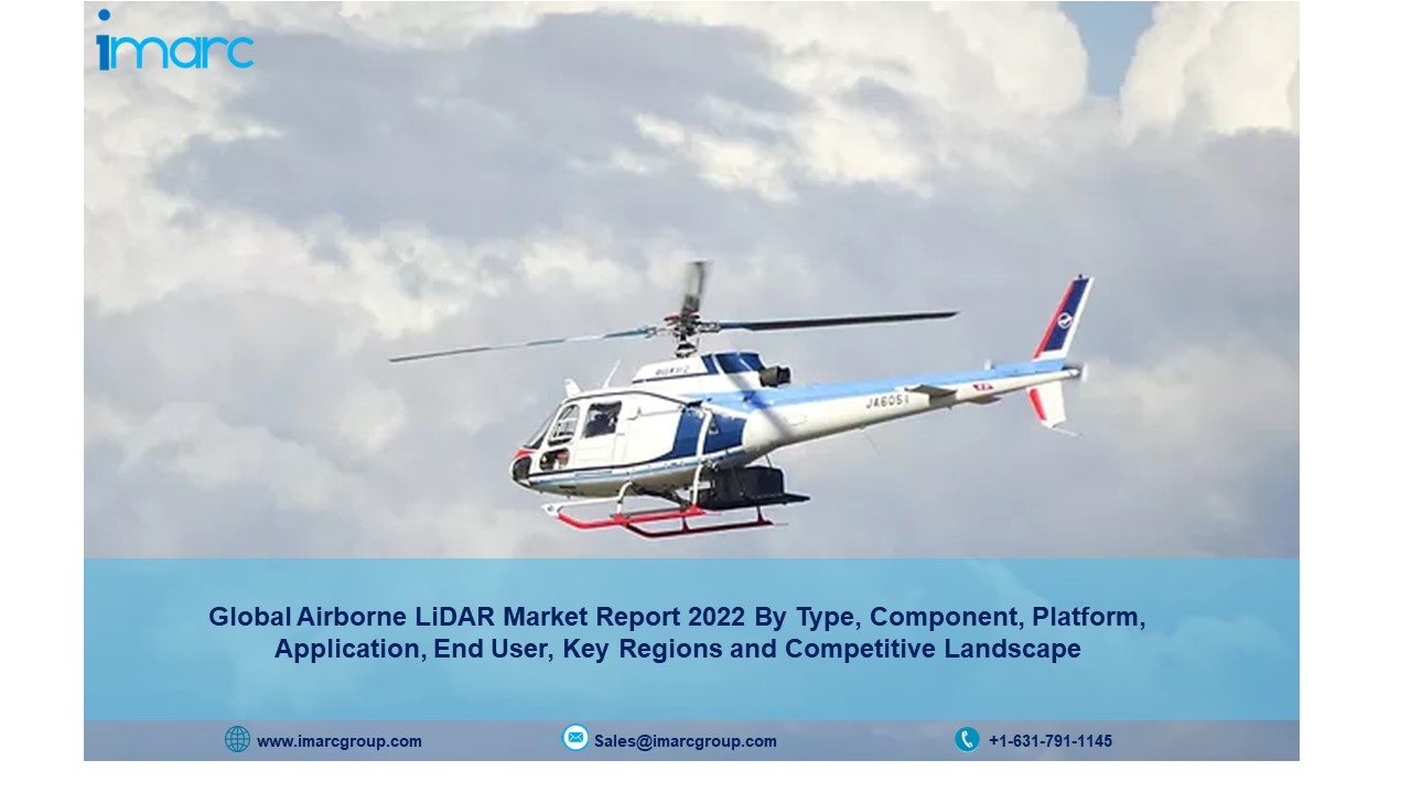
Airborne light detection and ranging (LiDAR) refers to an aerial mapping technology that is used to obtain three-dimensional (3D) data about the earth’s surface. The systems are generally installed on a helicopter or drone for scanning swathes of land and collecting geospatial data effectively. It helps in the efficient and affordable mapping of large areas with accurate measurement. As a result, airborne LiDAR finds extensive applications in the wind and solar power systems, precision farming, urban planning, rail corridors, land and resource management, 3D modeling, volumetrics, vehicles, electrical utility, pipeline, mining and aggregate, and floodplain evaluation across the globe.
Request a PDF Sample Copy for more detailed market insights: https://www.imarcgroup.com/airborne-lidar-market/requestsample
Market Trends:
The global airborne LiDAR market is primarily driven by the rising product use in forest management and planning. Moreover, there has been a rise in government investments in airborne LiDAR to improve operational efficiency and reduce the risks in the defense industry. In line with this, the increasing applications of airborne LiDAR in flood, urban, and pollution modeling are positively influencing market growth.
In addition, there is a rise in higher point density collection by flying lower and slower to collect multiple data. Along with this, the rising applications of airborne LiDAR for topographic surveys have catalyzed market growth. Besides this, the growing demand for miniaturized micro-electro-mechanical systems (MEMS) sensors in mobile phones, computer disk drive heads, and inkjet printers has augmented the product adoption rate.
Furthermore, the increasing use of unmanned aerial vehicles (UAVs) and 3D imaging in railway and highway construction is contributing to the market growth. Other factors, including the escalating demand for terrain mapping, increasing usage of airborne lidars in construction projects, and rising mergers and acquisitions (M&As) among key players, are also anticipated to drive the market further.
Click here to view detailed information with table of content: https://bit.ly/3JGnE08
| Airborne LiDAR Market Report Scope | |
| Report Coverage | Details |
| Market size value in 2021 | US$ 612.5 Million |
| Market forecast in 2027 | US$ 1,412.32 Million |
| Growth Rate | CAGR of 14.30% from 2022 to 2027 |
| Base year for estimation | 2021 |
| Historical data | 2016-2021 |
| Forecast period | 2022-2027 |
| Report coverage | Revenue forecast, company ranking, competitive landscape, growth factors, and trends |
| Segments covered | Type, Component, Platform, Application, End User and Region |
Key Market Segmentation:
The report has been segmented the market into following categories:
Breakup by Type:
- Airborne Topographic LiDAR
- Airborne Bathymetric LiDAR
Breakup by Component:
- Lasers Scanners
- Inertial Navigation Systems
- Camera
- GPS and GNSS Receivers
- Micro-Electromechanical Systems
Breakup by Platform:
- Fixed Wing Aircraft
- Rotary Wing Aircraft
- UAVs
Breakup by Application:
- Corridor Mapping
- Seismology
- Exploration and Detection
- Others
Breakup by End User:
- Aerospace and Defense
- Civil Engineering
- Forestry and Agriculture
- Transportation
- Archaeology
- Mining Industry
Breakup by Geography:
- North America:( United States, Canada)
- Asia-Pacific: (China, Japan, India, South Korea, Australia, Indonesia, Others)
- Europe: (Germany, France, United Kingdom, Italy, Spain, Russia, Others)
- Latin America: (Brazil, Mexico, Others)
- Middle East and Africa
Competitive Landscape with Key Player:
- AAM a Woolpert company
- Airborne Imaging Inc
- Firmatek
- Phoenix LiDAR Systems
- RIEGL Laser Measurement Systems GmbH
- Surveying and Mapping LLC
- Teledyne Technologies Incorporated
- Fugro
- Leica Geosystems AG (Hexagon AB)
- Merrick & Company
- Trimble Inc.
- Velodyne Lidar Inc.
- YellowScan.
About Us:
IMARC Group is a leading market research company that offers management strategy and market research worldwide. We partner with clients in all sectors and regions to identify their highest-value opportunities, address their most critical challenges, and transform their businesses.
IMARC’s information products include major market, scientific, economic and technological developments for business leaders in pharmaceutical, industrial, and high technology organizations. Market forecasts and industry analysis for biotechnology, advanced materials, pharmaceuticals, food and beverage, travel and tourism, nanotechnology and novel processing methods are at the top of the company’s expertise.
Media Contact:
Company Name: IMARC Group
Contact Person: Elena Anderson
Phone: +1-631-791-1145
Address: 30 N Gould St Ste R
City: Sheridan
State: WY
Country: United States
Website: https://www.imarcgroup.com
